Yield Monitoring Technologies Driving Data-Centric Farming in the Global Precision Farming Market
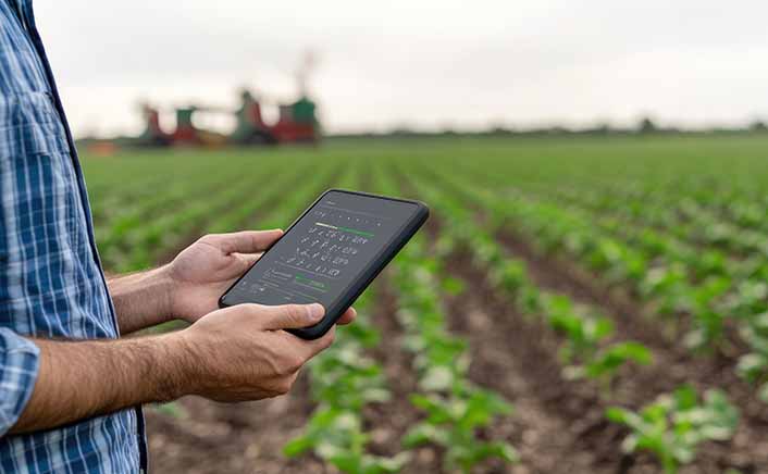
The Precision Farming Market is undergoing rapid transformation as digital agriculture technologies become more integrated throughout the farming value chain. This integration is enabling producers to enhance productivity, lower operational costs, and improve environmental sustainability. Among the various application segments, Field Mapping commands the largest estimated market share at 14.8%. This is largely due to its foundational role in creating georeferenced field boundaries, elevation models, soil variability maps, and management zones, all of which inform nearly every subsequent activity in precision agriculture.
Technologies such as GPS receivers, Geographic Information Systems (GIS), drones, and satellite imagery provide centimeter-level field positioning. This capability allows farmers to identify spatial variability before planting begins. Research from the United States Department of Agriculture (USDA) indicates that GPS guidance technologies are among the most widely adopted precision agriculture tools, particularly in large-scale corn and soybean farms in North America, with adoption rates exceeding 70% in larger operations. Field mapping also serves as the primary data source for prescription maps utilized in variable-rate fertilizer applications, irrigation planning, and the navigation of autonomous machinery. As farm machinery manufacturers increasingly incorporate RTK-GPS and cloud-connected mapping software into their tractors and combines, the demand for advanced field mapping platforms is experiencing global expansion.
Yield Monitoring accounts for an estimated 12.4% market share and is considered one of the most valuable applications due to its ability to directly quantify crop performance and facilitate data-driven decision-making. Modern combines, equipped with optical and moisture sensors, GPS modules, and onboard computing systems, generate yield maps at sub-meter resolution. This allows farmers to compare productivity across different zones within a field. Historical yield data, when combined with weather information, fertilizer application records, and soil characteristics, supports predictive agronomy and long-term farm planning. Research in cereal-producing regions has demonstrated that yield variability within a single field can exceed 30–50%, underscoring the economic value of collecting site-specific production data. Equipment manufacturers such as Deere & Company, AGCO Corporation, and CNH Industrial are continuously enhancing yield monitoring systems through cloud connectivity and AI-driven analytics, enabling real-time visualization of harvest performance and automatic recommendations for future cropping seasons.
Crop Scouting makes up approximately 10.1% of the market and has transitioned from manual field inspections to an AI-enabled monitoring process that leverages drones, multispectral satellite imagery, hyperspectral cameras, and machine vision algorithms. This automated crop scouting process can identify nutrient deficiencies, weed infestations, pest outbreaks, water stress, and disease symptoms well before they become visible to the naked eye. AI models trained on millions of agricultural images can detect plant abnormalities with accuracy exceeding 90% in controlled conditions, significantly reducing the time required for agronomic assessments. Commercial UAVs equipped with multispectral sensors can survey hundreds of acres within a few hours, replacing labor-intensive manual inspections and improving decision-making accuracy. As labor shortages continue to impact agricultural operations globally, AI-powered crop scouting platforms are becoming essential investments for commercial farms seeking faster interventions and reduced crop losses.
Soil Monitoring, which accounts for nearly 8.5% of the market, has gained importance as growers prioritize soil health and aim to minimize fertilizer costs. IoT-enabled soil sensors measure moisture content, electrical conductivity, pH, salinity, temperature, and nutrient availability continuously, transmitting real-time data through wireless networks. Precision soil monitoring enables producers to apply fertilizers only where deficiencies exist, thereby reducing nutrient losses and minimizing environmental runoff. Numerous field studies indicate that site-specific soil management can lower fertilizer consumption by 10–30% while maintaining equivalent or higher crop yields, depending on field variability. The integration of digital soil mapping and predictive analytics enhances long-term fertility management, especially in regions facing soil degradation and decreasing organic matter.
Variable Rate Fertilizer Application, which holds an estimated 11.3% market share, has emerged as one of the most valuable precision agriculture applications due to rising fertilizer prices and growing environmental regulations. Variable Rate Technology (VRT) automatically adjusts fertilizer application rates based on prescription maps that are generated from soil sampling, yield history, crop nutrient demands, and satellite imagery. In comparison to uniform fertilizer applications, precision nutrient management strategies have demonstrated significant reductions in fertilizer usage.